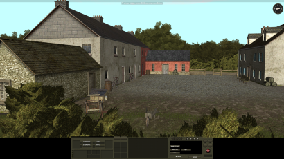
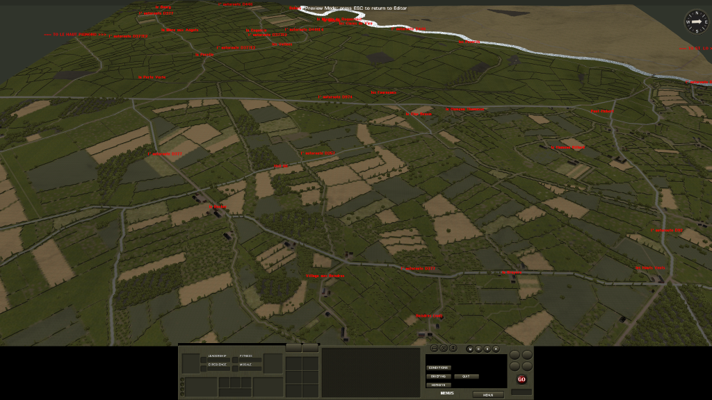
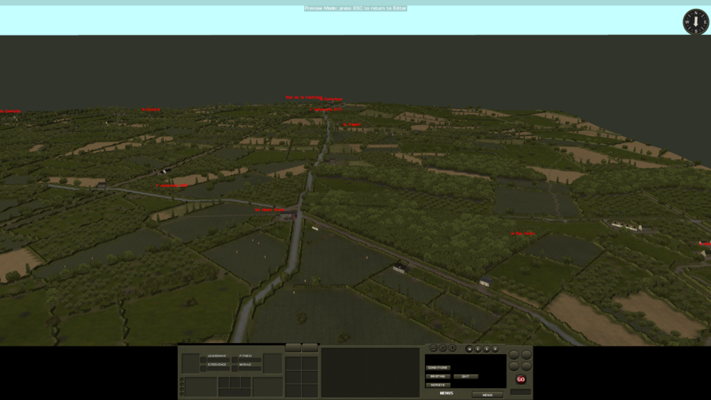
After six months and untold hours my work on the 16 square kilometer map between le Desert, Cavigny, la Fautelaye and Quartier du Pont is approximately 40% complete. Most gamers would recognize the name les Hauts Vents, which is located in the south western third of this map. The goal is to create a master map from which scenarios and campaigns can be recreated for the period July 8 – 12, 1944, a time when the Americans were driving for St. Lo and attempting to extricate themselves from this bocage countery. Sources have included aerial recon photos taken July 12, 1944 and more such from 1947 as well as French on-line sources. Many new skins have been created for the buildings that have survived the past 75 years, most notably, those with their original 1944 red stucco still entirely or partially intact. But I have run into a modding problem and am asking for help. I want to make new ’tiled’ roofs for the ‘modular’ buildings. But whenever I change the look of an undamaged roof, which is easy to do, the ‘damaged roof’ graphic always becomes a mis-fit. I have been unable to find a solution. Any help would be GREATLY appreciated. By the way, this map is being created on an Alienware gaming desktop with two NVidia 1080 cards in SLI. Anything less can display the 2D map but not the 3D map. Once completed the map can be ‘chopped’ into smaller scenario specific manageable pieces. Please contact me if you are willing and able to help.
Be the first to comment on "Panzer Lehr at Pont Hébert"